The Knobstone Trail is approximately 44 miles long.
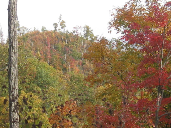
 THE KNOBSTONE TRAIL takes its rugged character and name from the ridge of bluffs and knobs (hills) known as the Knobstone Escarpment. This escarpment borders the Norman Upland, rising 300 feet or more above the Scottsburg Lowland, to the east. It ranges northward from near the Ohio River to just south of Martinsville. The escarpment is named for a stratum of rock that is composed of brown shale, sandstone, and siltstone. This shale layer also contains the distinctive knobby rocks—geodes–you will see in creek crossings, often cracked open showing crystalline interiors.
 CREATION OF THE CHALLENGING 45-MILE original Knobstone Trail. The trail was first mapped and built on state forest land in the “Environmental Decade” of the 1970s (builder Joe Payne and mapper Jerry Pagac in 2015 photo). This extremely steep terrain had been farmed, logged, abused and abandoned by pioneers. During the Depression nearly 40,000 eroded acres in Clark, Scott, and Washington Counties were acquired by the state and reforested (though never tamed!) It is now preserved as a recreational and forest resource for posterity. The original conception of the trail included the possible extension all the way along the escarpment to Martinsville [link to Joe Payne’s hist.account]
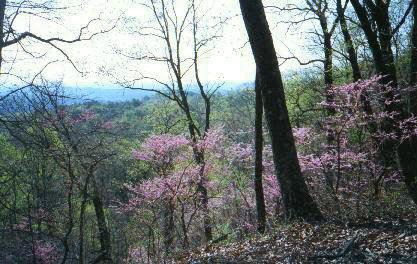 THE SECTIONS ARE DISTINCTIVE. Many hike from north to south, as the hills get steeper as you go south. This enables you to develop “trail legs.”
- From the North, Spurgeon Hollow to Oxley Trailhead offers 6.5 miles of fairly easy walking through shaded, wildflower-filled bottomlands, then a rise. This section combines well with the next, if you did not start too late.
 Oxley to Elk Creek is more of a challenge, with 6 miles of nice long ridge walks but dips down to cross SR 56, old 56 and several very green hollows. Elk Creek Lake offers fine camping areas at the north and south ends of the lake. Fishermen often congregate at the lake.
- Elk Creek Lake to Leota offers fine scenery around Elk Creek Lake and then enjoyable winding trail on narrow ridges, with some steep knob climbs. This 7.2 mile section passes through green valleys and also some large clearings created by logging operations, reputed to be “excellent wildlife habitat for deer and grouse.”
 The 8 miles from Leota to New Chapel Trailhead start with a dip and steep ascent then remarkable 2-mile long ridge walk. A “corrugated trail” section crosses old farm erosion gullies. Another tough knob hop and then there’s the long lush North Branch Hollow (though damaged by illegal ATV use). More knobs then an easy, unusually green wide ridge top walk leads to New Chapel.
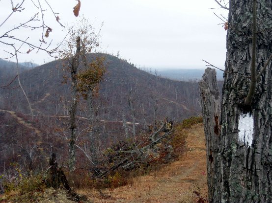
- The 11-mile New Chapel-Jackson Road section is the roughest and most scenic of the whole KT. The trail follows long, narrow steep-sided ridges populated with the KT’s iconic resilient chestnut oak, adapted to these dry, exposed heights. The grades of climbs to these ridge tops are severe, due to property ownership limitations. Views of far distant Louisville can be glimpsed at many points along the way; an old wagon track nearby allowed visits here more than a century ago. Tornado damage in 2011 to the trail’s high point at Round Knob provides a glimpse of Nature’s amazing recuperative action.
 Jackson Road to Deam Lake is a short 6.2-mile walk, with an extremely steep ascent out of the valley where a trail leads to Jackson Rd. parking lot. Another very steep ascent leads to a long ridge walk, interrupted by one descent to a road crossing, and to Deam Lake.