Skip to content Skip to content

Knobstone Hiking Trail Association

Realizing the 1970s Visionary 160-Mile Knobstone

  • Home
  • Hiking The 160-Mile KHT – Info & Resources
    • Trail Conditions & Updates
    • Emergencies, Shuttles & Mail Drops
    • KHT Free Downloads
    • Master Map
    • Tecumseh Trail
      • Tecumseh Trail Description
      • Tecumseh Trail Section Map
    • HNF Trail
      • Hoosier National Forest Trail – Description
      • Hoosier National Forest Section Map
    • Pioneer Trail
      • Pioneer Trail Description
      • Pioneer Trail Section Map
    • Knobstone Trail
      • Knobstone Trail Description
      • Knobstone Trail Section Map
    • Reporting To Us About Your Hike
      • Completed Hikes Report Form
      • Reporting Trail Conditions
      • Sharing Stories, Photos, & Videos
    • Completed Hikes
    • Shared Stories, Photos, and Videos
    • Suggested Day Hikes
    • Suggested Backpacks
    • KHT On DNR & HNF
    • GAIAGPS Interactive KHT Map
    • All Trails Interactive KHT Map
    • Hoosier Byways and Pathways – Additional Resources
  • Volunteer
    • Volunteer Opportunities – Adopt A Trail – Group Workdays
    • Volunteer Form
    • KT Adopters Report Form
    • Volunteers / Trail Angels / Adopters
    • Trail Construction and Maintenance
  • Activities
    • Register for the 2022 KHTA Gateway 5K Run/Walk
    • KHTA Events
    • Annual Meetings
    • Events Near Trail
  • History & Geology
  • About Us / Partners and Collaborators
    • Donate/Volunteer/Membership
    • Board of Directors
    • KHTA Documents
    • KHTA Newsletters
    • Sparksville Park Trailside Camp
    • KHTA Sponsors
    • Government Agency Partners
    • Hiking Clubs
    • Hoosier Byways & Pathways Discovering Places – Experiencing Journeys
    • Trail Running
  • Store / Maps
    • Cart
    • Checkout
  • Contact Us
    • Contact Form
    • Mailing Address
  • Membership
    • Membership Log In
    • Membership Account – Renew/Update
    • Your Profile
    • Create A Member Account – Membership Levels
Home / Product shipping classes / map

map

Showing all 7 results

  • IG&WS Maps - Brown County SP - Yellowwood & Morgan-Monroe SFs - Southern Tecumseh Trail (TT) Segment of the KHT

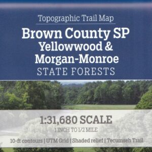
    IG&WS Maps – Brown County SP – Yellowwood & Morgan-Monroe SFs – Southern Tecumseh Trail (TT) Segment of the KHT

    $15.00 sales tax may apply
    Read more
  • IG&WS Maps - Charles C. Deam Wilderness - Hoosier National Forest (HNF) Trail Segment of the KHT

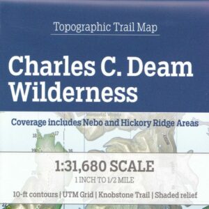
    IG&WS Maps – Charles C. Deam Wilderness – Hoosier National Forest (HNF) Trail Segment of the KHT

    $15.00 sales tax may apply
    Read more
  • IG&WS Maps - Clark & Jackson-Washington State Forests - Knobstone Trail Segment of the KHT

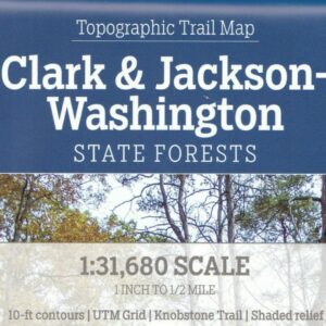
    IG&WS Maps – Clark & Jackson-Washington State Forests – Knobstone Trail Segment of the KHT

    $15.00 sales tax may apply
    Read more
  • IG&WS Maps - Jackson-Washington State Forests - Starve Hollow - Pioneer Trail Segment of the KHT

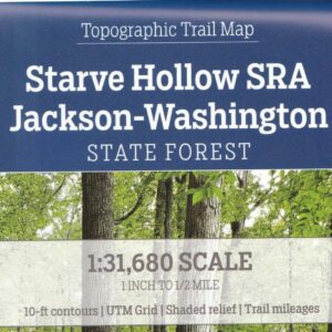
    IG&WS Maps – Jackson-Washington State Forests – Starve Hollow – Pioneer Trail Segment of the KHT

    $15.00 sales tax may apply
    Add to cart
  • IG&WS Maps - Morgan-Monroe & Yellowwood SFs - Northern Tecumseh Trail (TT) Segment of the KHT

    IG&WS Maps – Morgan-Monroe & Yellowwood SFs – Northern Tecumseh Trail (TT) Segment of the KHT

    $15.00 sales tax may apply
    Add to cart
  • Knobstone Trail Map

    Knobstone Trail Map

    $10.00 sales tax may apply
    Add to cart
  • Placeholder

    Tecumseh Trail Map Available Through The HHC

    $6.00 sales tax may apply
    Read more
© 2025 All Rights Reserved.
Website Design by Affordable Website Design
Server: Mirror1-P