Maps / Store
Store News
New items were added this Summer
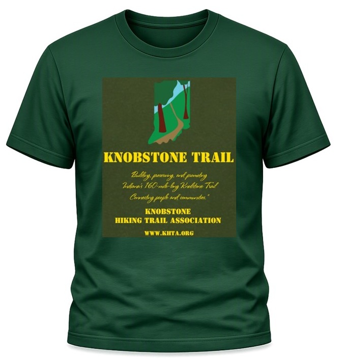
A quick-dry Knobstone T-Shirt.
Now Available – Maps of the Region By the Indiana Geological & Water Survey!
The 5 map set includes all of the trails on state and federal land in the area covered. It includes many local trails including the KHT from start to finish. These are the most detailed maps available and enable hikers to explore the rich opportunities up and down the KHT corridor. These maps include the Charles C. Deam Wilderness in the HNF, Morgan Monroe-Yellowood Forests, Brown County State Park, Starve-Hollow SRA, and the Clark & Jackson-Washington State Forests. During the Covid 19 pandemic Avenza is offering a free digital version of these maps through their I-phone and android apps. All five are available. Go to this link Avenza on your smart phone or android device to download the app and then the maps. For further info on the IGWS go to https://igws.indiana.edu/newsletter/read/may-2020.
Note that the Deam Wilderness is being revised and is out of stock. You can still order them individually or as a part of the Bundle. They will be mailed when they become available. We apologize for the inconvenience.
Melanie Casey, Store Manager
Showing all 24 results
-
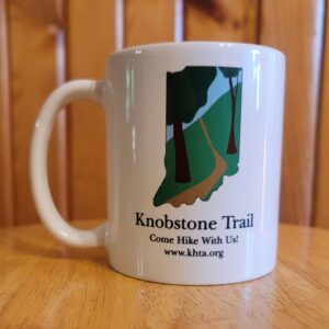
Cups
$25.00 sales tax may apply Add to cart -

IG&WS Maps – Brown County SP – Yellowwood & Morgan-Monroe SFs – Southern Tecumseh Trail (TT) Segment of the KHT
$15.00 sales tax may apply Add to cart -
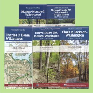
IG&WS Maps – Bundle of All 5 Maps Along the KHT Corridor
$70.00 sales tax may apply Read more -
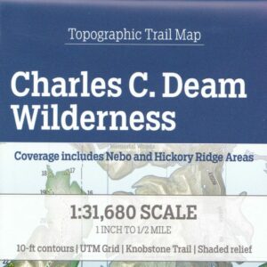
IG&WS Maps – Charles C. Deam Wilderness – Hoosier National Forest (HNF) Trail Segment of the KHT
$15.00 sales tax may apply Read more -
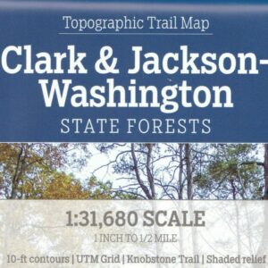
IG&WS Maps – Clark & Jackson-Washington State Forests – Knobstone Trail Segment of the KHT
$15.00 sales tax may apply Add to cart -
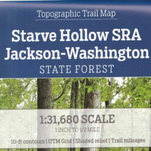
IG&WS Maps – Jackson-Washington State Forests – Starve Hollow – Pioneer Trail Segment of the KHT
$15.00 sales tax may apply Add to cart -

IG&WS Maps – Morgan-Monroe & Yellowwood SFs – Northern Tecumseh Trail (TT) Segment of the KHT
$15.00 sales tax may apply Add to cart -
KHT Bundle
$20.00 sales tax may apply Add to cart -
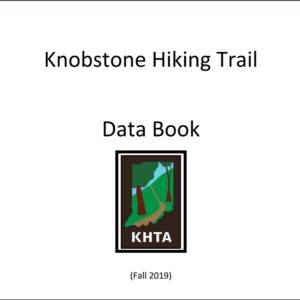
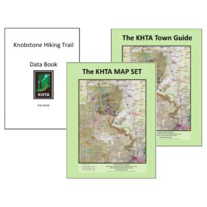
KHT Data Book
$4.00 sales tax may apply Add to cart -

KHT Day Hikes and Overnighters Hiking Brochure
$0.00 Add to cart -

KHT History Brochure
$0.00 Add to cart -
KHT Magnet
$3.00 sales tax may apply Add to cart -
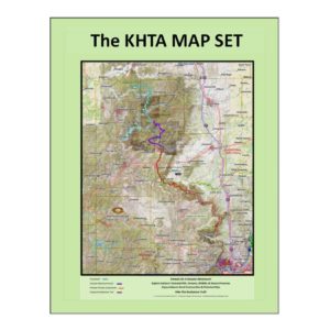
KHT Map Set
$15.00 sales tax may apply Add to cart -
KHT Sticker
$2.00 sales tax may apply Add to cart -
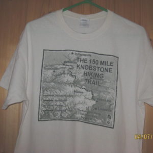
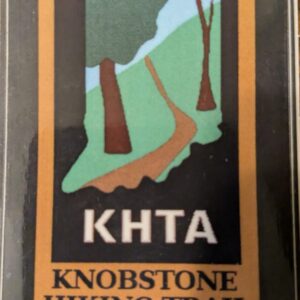
KHT T-Shirt
$10.00 Select options This product has multiple variants. The options may be chosen on the product page -
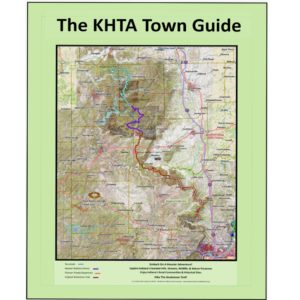
KHT Town Guide
$8.00 sales tax may apply Add to cart -
Knobstone Hiking Trail Cap
$25.00 sales tax may apply Add to cart -
Knobstone Hiking Trail Patch
$4.00 sales tax may apply Add to cart -

Knobstone License Plate
$25.00 sales tax may apply Add to cart -

Knobstone Trail Map
$10.00 sales tax may apply Add to cart -

Knobstone Trail Sportsman Cuffed Beanie
$30.00 sales tax may apply Add to cart -

Quick Dry T-Shirts
$30.00 Select options This product has multiple variants. The options may be chosen on the product page -

Tecumseh Trail Map Available Through The HHC
$6.00 sales tax may apply Read more -

Water Bottles
$10.00 sales tax may apply Add to cart